


How Municipal Grader Tracking Improves Accountability
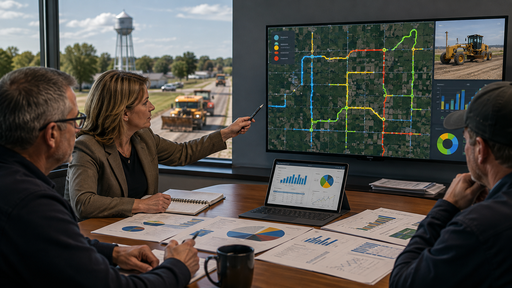
Across Canada, rural municipalities and public works departments face increasing pressure to provide better service with limited budgets, aging equipment, and fewer available operators. At the same time, ratepayers expect roads to be cleared faster, gravel roads to be maintained consistently, and complaints to be handled immediately. In this environment, accountability has become one of the most important aspects of municipal operations.
One of the most effective tools municipalities are now adopting to improve accountability is grader tracking technology.
Modern grader tracking systems use GPS hardware, live mapping, automated reports, and operational analytics to provide municipalities with a complete understanding of where equipment is, what work is being performed, and how effectively operations are being managed. Instead of relying on handwritten logs, radio check-ins, or memory-based reporting, municipalities gain real-time, data-driven operational visibility.
One of the most effective tools municipalities are now adopting to improve accountability is grader tracking technology.
Modern grader tracking systems use GPS hardware, live mapping, automated reports, and operational analytics to provide municipalities with a complete understanding of where equipment is, what work is being performed, and how effectively operations are being managed. Instead of relying on handwritten logs, radio check-ins, or memory-based reporting, municipalities gain real-time, data-driven operational visibility.
Instant Verification of Work Completed
One of the largest challenges municipal offices face is responding to public complaints.
When a resident calls and says:
• “My road hasn’t been graded.”
• “Snow hasn’t been cleared.”
• “The operator missed our area.”
Staff traditionally had limited ways to verify what actually occurred. Foremen often had to make multiple phone calls, review paper logs, or physically inspect roads.
With grader tracking systems, office staff and management can instantly review:
• where the grader traveled,
• the exact route taken,
• when the work occurred,
• how long the grader operated in the area,
• and whether the grader was actively working or simply travelling.
Many advanced systems visually separate operational activity from simple transportation movement. For example:
• Blue Lines may indicate active grading or snow-clearing activity,
• while Red Lines may represent travel-only movement.
This creates a clear visual history of operations that can be reviewed within seconds.
The result is faster complaint resolution, improved transparency, and significantly reduced uncertainty.
When a resident calls and says:
• “My road hasn’t been graded.”
• “Snow hasn’t been cleared.”
• “The operator missed our area.”
Staff traditionally had limited ways to verify what actually occurred. Foremen often had to make multiple phone calls, review paper logs, or physically inspect roads.
With grader tracking systems, office staff and management can instantly review:
• where the grader traveled,
• the exact route taken,
• when the work occurred,
• how long the grader operated in the area,
• and whether the grader was actively working or simply travelling.
Many advanced systems visually separate operational activity from simple transportation movement. For example:
• Blue Lines may indicate active grading or snow-clearing activity,
• while Red Lines may represent travel-only movement.
This creates a clear visual history of operations that can be reviewed within seconds.
The result is faster complaint resolution, improved transparency, and significantly reduced uncertainty.
Protection for Operators and Staff
Accountability does not only benefit management — it also protects operators.
Municipal grader operators frequently face criticism or accusations from the public regarding road conditions or service delays. In many cases, operators may have already completed the requested work, but there was previously little proof available.
GPS-based grader tracking provides factual operational records that protect staff from unfair claims.
If an operator graded a road at 2:14 PM for 47 minutes, the system records it. If snow-clearing occurred during overnight hours, the route history proves it. This creates objective documentation instead of relying on opinion or recollection.
Operators often appreciate these systems once implemented because they provide evidence of productivity and workload that previously went unseen.
Municipal grader operators frequently face criticism or accusations from the public regarding road conditions or service delays. In many cases, operators may have already completed the requested work, but there was previously little proof available.
GPS-based grader tracking provides factual operational records that protect staff from unfair claims.
If an operator graded a road at 2:14 PM for 47 minutes, the system records it. If snow-clearing occurred during overnight hours, the route history proves it. This creates objective documentation instead of relying on opinion or recollection.
Operators often appreciate these systems once implemented because they provide evidence of productivity and workload that previously went unseen.
Improved Council and Administrative Oversight
Municipal councils and administrative staff are under increasing pressure to justify operational spending and demonstrate responsible use of taxpayer dollars.
Grader tracking systems provide councils with:
• automated operational reports,
• equipment utilization summaries,
• route histories,
• maintenance visibility,
• and measurable productivity information.
Instead of generalized verbal updates, councils can review actual operational data.
This improves:
• budgeting decisions,
• staffing evaluations,
• equipment replacement planning,
• and long-term infrastructure management.
Automated monthly reporting also reduces administrative workload by eliminating manual report preparation.
Grader tracking systems provide councils with:
• automated operational reports,
• equipment utilization summaries,
• route histories,
• maintenance visibility,
• and measurable productivity information.
Instead of generalized verbal updates, councils can review actual operational data.
This improves:
• budgeting decisions,
• staffing evaluations,
• equipment replacement planning,
• and long-term infrastructure management.
Automated monthly reporting also reduces administrative workload by eliminating manual report preparation.
Reduced Radio Traffic and Phone Calls
Before tracking systems existed, many foremen and office staff spent large portions of their day calling operators for updates:
• “Where are you now?”
• “Has Range Road 214 been completed?”
• “Did you finish the south division?”
• “Can you respond to this complaint?”
Live mapping systems dramatically reduce this inefficiency.
Management can simply open the software platform and instantly see:
• current equipment locations,
• active work areas,
• completed routes,
• and equipment status.
This saves time, reduces interruptions for operators, and allows supervisors to focus more on operations instead of chasing information.
• “Where are you now?”
• “Has Range Road 214 been completed?”
• “Did you finish the south division?”
• “Can you respond to this complaint?”
Live mapping systems dramatically reduce this inefficiency.
Management can simply open the software platform and instantly see:
• current equipment locations,
• active work areas,
• completed routes,
• and equipment status.
This saves time, reduces interruptions for operators, and allows supervisors to focus more on operations instead of chasing information.
Historical Data Creates Long-Term Accountability
One of the most valuable features of grader tracking systems is the creation of historical operational records.
Municipalities can review:
• previous storm response activity,
• seasonal grading patterns,
• equipment usage trends,
• and historical service levels.
This information becomes extremely valuable during:
• insurance disputes,
• public complaints,
• legal inquiries,
• budget reviews,
• and operational planning.
Historical records also help municipalities identify inefficiencies, overlapping work areas, underutilized equipment, and opportunities to improve route planning.
Instead of operating reactively, municipalities can make informed decisions based on real operational data.
Municipalities can review:
• previous storm response activity,
• seasonal grading patterns,
• equipment usage trends,
• and historical service levels.
This information becomes extremely valuable during:
• insurance disputes,
• public complaints,
• legal inquiries,
• budget reviews,
• and operational planning.
Historical records also help municipalities identify inefficiencies, overlapping work areas, underutilized equipment, and opportunities to improve route planning.
Instead of operating reactively, municipalities can make informed decisions based on real operational data.
Building Public Trust
At its core, accountability is about trust.
Ratepayers want confidence that municipal operations are being performed fairly, consistently, and efficiently. Councils want confidence that resources are being used properly. Operators want confidence that their work is recognized and documented accurately.
Municipal grader tracking systems help create that trust by replacing uncertainty with verifiable information.
The result is a more transparent operation, improved communication between departments, better protection for staff, and stronger confidence from the public.
As municipalities continue facing growing operational demands and increasing public expectations, grader tracking technology is rapidly becoming not just a convenience — but an essential accountability tool for modern public works operations.
Ratepayers want confidence that municipal operations are being performed fairly, consistently, and efficiently. Councils want confidence that resources are being used properly. Operators want confidence that their work is recognized and documented accurately.
Municipal grader tracking systems help create that trust by replacing uncertainty with verifiable information.
The result is a more transparent operation, improved communication between departments, better protection for staff, and stronger confidence from the public.
As municipalities continue facing growing operational demands and increasing public expectations, grader tracking technology is rapidly becoming not just a convenience — but an essential accountability tool for modern public works operations.

Blog title heading will go here
Lorem ipsum dolor sit amet, consectetur adipiscing elit. Suspendisse varius enim in eros.
Blog title heading will go here
Lorem ipsum dolor sit amet, consectetur adipiscing elit. Suspendisse varius enim in eros.
Blog title heading will go here
Lorem ipsum dolor sit amet, consectetur adipiscing elit. Suspendisse varius enim in eros.
Blog title heading will go here
Lorem ipsum dolor sit amet, consectetur adipiscing elit. Suspendisse varius enim in eros.
All Articles
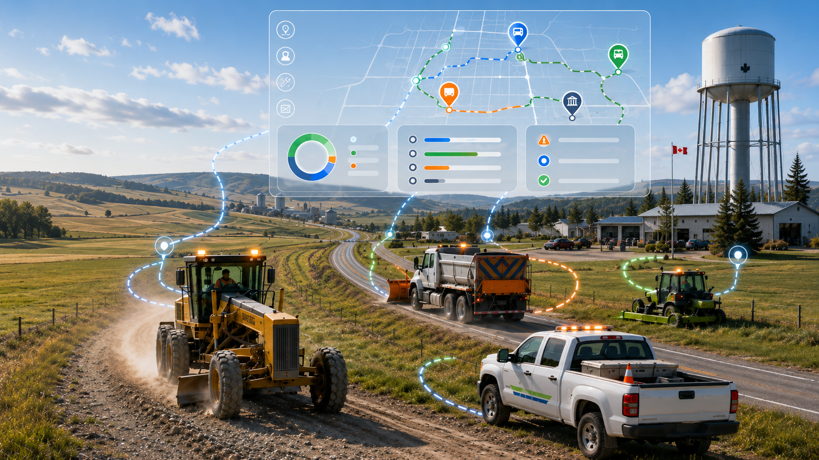
5 Ways Rural Municipalities Improve Efficiency with GPS
Across Canada, rural municipalities are under constant pressure to do more with limited budgets, aging infrastructure, and small operational...
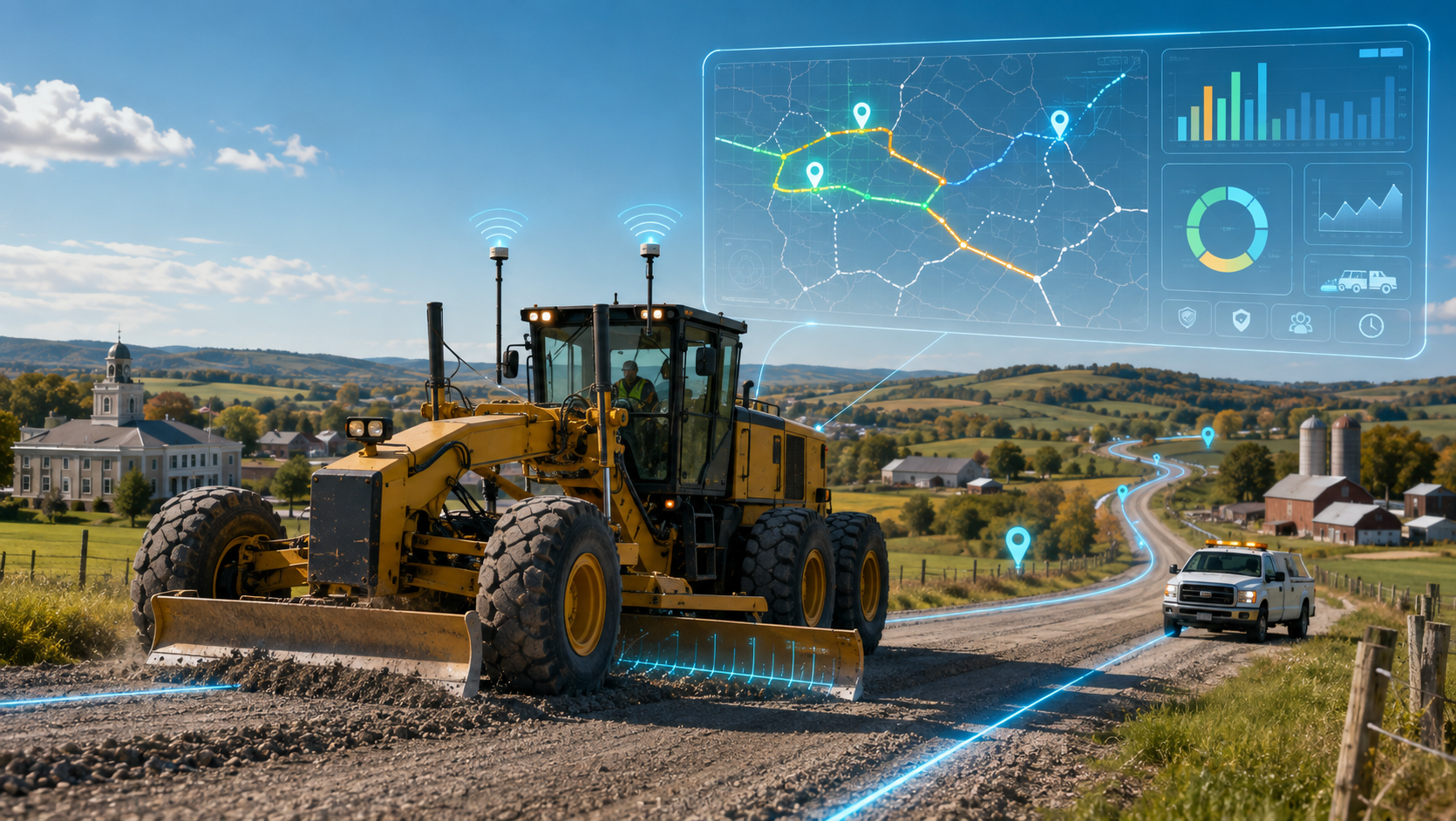
A Digital Revolution for Gravel Roads
Maintaining gravelroads has always been a demanding and deeply essential responsibility for rural and municipal governments. Each season, operators steer graders across hundreds—sometimes thousands...
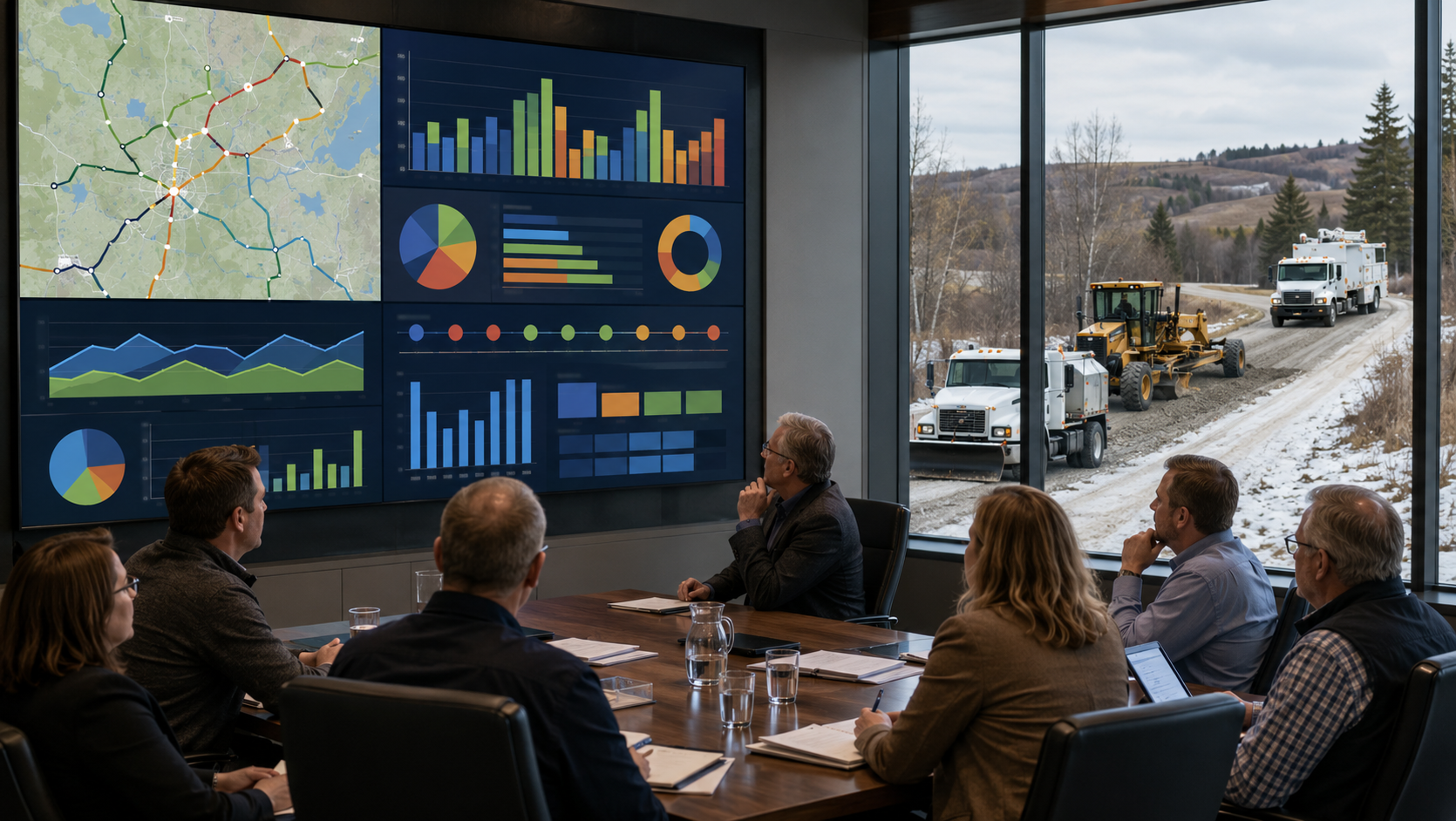
How Councils Use Municipal Operational Reporting Data
Modern municipal councils are under increasing pressure to make informed decisions, control costs, improve transparency, and respond quickly to resident concerns. Across Canada...
Municipal Grader Tracking Improves Accountability
Across Canada, rural municipalities and public works departments faceincreasing pressure to provide better service with limited budgets, aging equipment, and fewer available...

Material Haulage: Tracking the Load
Municipal roadmaintenance, gravel delivery, and aggregate spreading have long been essential yet logistically complex tasks for rural and regional governments. Where loads are dropped, how much material is used, and whether crews followed optimal...