


Tracking the Load: How the ConX Wireless Haulage GPS System Is Transforming Municipal Material Delivery

Municipal road maintenance, gravel delivery, and aggregate spreading have long been essential yet logistically complex tasks for rural and regional governments. Where loads are dropped, how much material is used, and whether crews followed optimal routes — all matter, both for budget management and public accountability. The haulage GPS system from ConX Wireless delivers exactly that: a streamlined, data-driven way to monitor material hauling, spreading, and usage — with real-time mapping, precise tracking, and automatic reporting.
How the System Works: From Cab Input to Mapped Delivery
At its core, the haulage GPS system combines a rugged vehicle-mounted tracker with intuitive data-entry and cellular-based communication. As drivers haul gravel, sand, or other materials, they input essential information — material type and volume — directly via an in-cab keypad or smartphone interface.
Once entered, the system automatically records the GPS route, the dump site location, and the associated material volume. This information is then uploaded (when a cellular connection is available) to a central database, where it is added to maps, reports, and graphs. Municipal managers can later view detailed maps showing exactly which roads received materials, what type and how much, and when — all without relying on manual logbooks or guesswork.
Because the system is designed for continuous operation — even outside cellular coverage — it ensures that material-hauling activity is reliably recorded, even in remote areas.
Once entered, the system automatically records the GPS route, the dump site location, and the associated material volume. This information is then uploaded (when a cellular connection is available) to a central database, where it is added to maps, reports, and graphs. Municipal managers can later view detailed maps showing exactly which roads received materials, what type and how much, and when — all without relying on manual logbooks or guesswork.
Because the system is designed for continuous operation — even outside cellular coverage — it ensures that material-hauling activity is reliably recorded, even in remote areas.
From Data to Decisions: Why This Matters for Municipalities
The benefits of the haulage GPS system are multi-fold — and go beyond simple tracking:
• Budget optimization: With accurate data on material type, volume, and haul distances, municipalities can precisely determine costs per project or per haul, compare budgeted vs. actual usage, and plan future expenditures more reliably.
• Transparency & accountability: Because every delivery is logged and mapped, councils and ratepayers have an objective record of what work was done. This helps answer resident inquiries, support grant or funding applications, and serve as defensible documentation in audits or disputes.
• Efficiency & workload insight: Administrators can analyze haulage patterns — how often loads are delivered, how far trucks travel, how material is distributed — enabling smarter routing, fewer wasted trips, and better use of staff and equipment.
• Simplified reporting: The system can export data as Excel or CSV for easy integration into budgeting, reporting, or GIS systems. Reports can show volume by material type, location, haul distance, and year-to-date totals — ideal for review boards and annual planning.
• Budget optimization: With accurate data on material type, volume, and haul distances, municipalities can precisely determine costs per project or per haul, compare budgeted vs. actual usage, and plan future expenditures more reliably.
• Transparency & accountability: Because every delivery is logged and mapped, councils and ratepayers have an objective record of what work was done. This helps answer resident inquiries, support grant or funding applications, and serve as defensible documentation in audits or disputes.
• Efficiency & workload insight: Administrators can analyze haulage patterns — how often loads are delivered, how far trucks travel, how material is distributed — enabling smarter routing, fewer wasted trips, and better use of staff and equipment.
• Simplified reporting: The system can export data as Excel or CSV for easy integration into budgeting, reporting, or GIS systems. Reports can show volume by material type, location, haul distance, and year-to-date totals — ideal for review boards and annual planning.
Beyond Gravel: A System Built for Municipal Versatility
While gravel and aggregate hauling is a primary use case, the haulage GPS system is part of a larger municipal-asset management platform offered by ConX Wireless. As such, it fits naturally alongside other modules — like grader tracking, snow-clearing, mowing, and water-fill stations — under a unified “one system” strategy. That means municipalities don’t need separate tools for each task: one platform can monitor all fleet and infrastructure activity.
Installation is simple. The system leverages cellular-based data communication, so even after installation, crews don’t need special hardware or software training. Data entry from within the cab or via smartphone makes it user-friendly and cost-effective.
Installation is simple. The system leverages cellular-based data communication, so even after installation, crews don’t need special hardware or software training. Data entry from within the cab or via smartphone makes it user-friendly and cost-effective.
A New Standard for Material Haulage and Road Maintenance
For municipalities that haul gravel, sand, salt, or other materials along rural roads and highways, this kind of visibility and data management has long been elusive. The haulage GPS system changes that. By combining location logging, material-record tracking, and intuitive reporting within one unified platform, it offers control, clarity, and accountability like never before.
In doing so, it helps ensure that every truckload — and every dollar spent — is documented, optimized, and defensible. In an age when public funds, rural infrastructure, and community trust all depend on transparency, that’s not “nice to have” — it’s essential.
In doing so, it helps ensure that every truckload — and every dollar spent — is documented, optimized, and defensible. In an age when public funds, rural infrastructure, and community trust all depend on transparency, that’s not “nice to have” — it’s essential.

Blog title heading will go here
Lorem ipsum dolor sit amet, consectetur adipiscing elit. Suspendisse varius enim in eros.
Blog title heading will go here
Lorem ipsum dolor sit amet, consectetur adipiscing elit. Suspendisse varius enim in eros.
Blog title heading will go here
Lorem ipsum dolor sit amet, consectetur adipiscing elit. Suspendisse varius enim in eros.
Blog title heading will go here
Lorem ipsum dolor sit amet, consectetur adipiscing elit. Suspendisse varius enim in eros.
All Articles
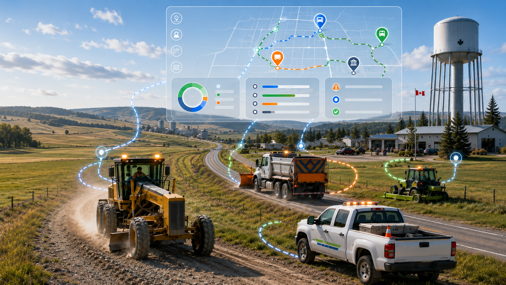
5 Ways Rural Municipalities Improve Efficiency with GPS
Across Canada, rural municipalities are under constant pressure to do more with limited budgets, aging infrastructure, and small operational...

A Digital Revolution for Gravel Roads
Maintaining gravelroads has always been a demanding and deeply essential responsibility for rural and municipal governments. Each season, operators steer graders across hundreds—sometimes thousands...
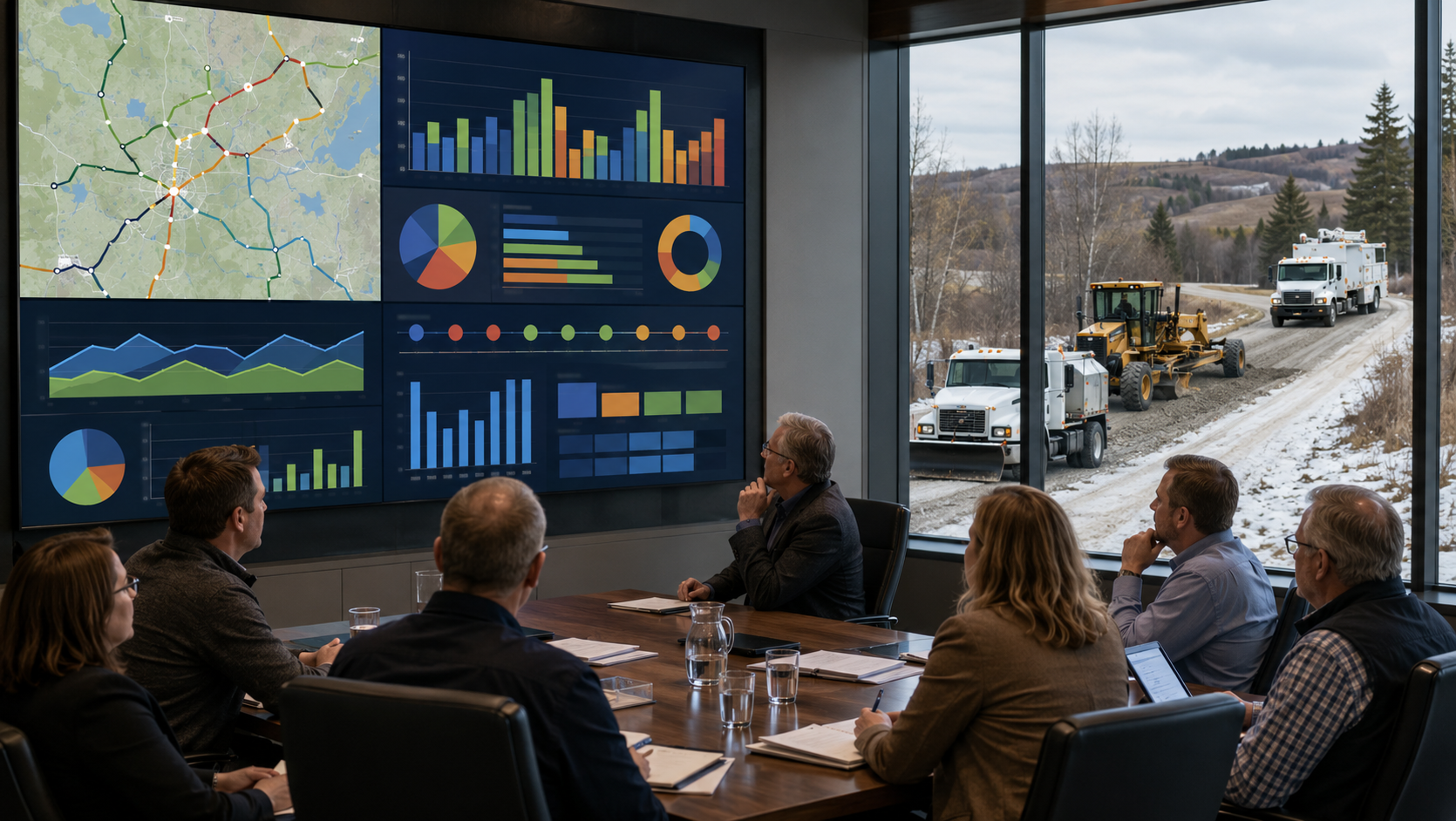
How Councils Use Municipal Operational Reporting Data
Modern municipal councils are under increasing pressure to make informed decisions, control costs, improve transparency, and respond quickly to resident concerns. Across Canada...
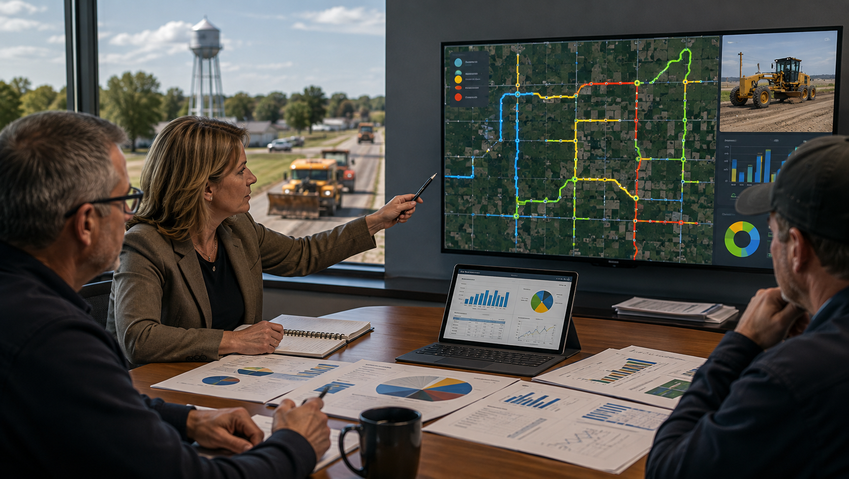
Municipal Grader Tracking Improves Accountability
Across Canada, rural municipalities and public works departments faceincreasing pressure to provide better service with limited budgets, aging equipment, and fewer available...
Material Haulage: Tracking the Load
Municipal roadmaintenance, gravel delivery, and aggregate spreading have long been essential yet logistically complex tasks for rural and regional governments. Where loads are dropped, how much material is used, and whether crews followed optimal...